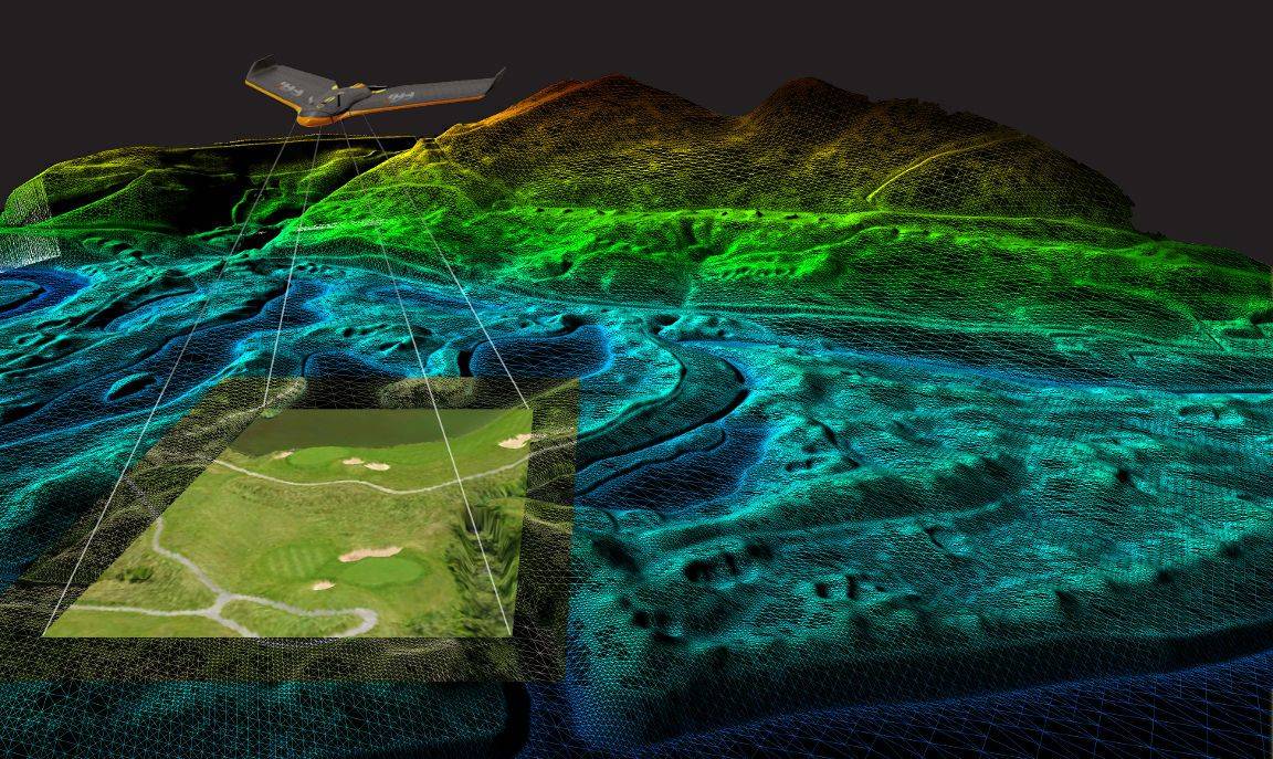
A master model of the entire golf course. Created from your CAD plans it can include terrain, planting, real estate. Using our custom built software we can edit and feature in real time.

Cut inspection times by up to 90% compared to traditional land based surveys.
Detailed and precise data including georeferenced imagery.
Dramatic cost savings – up to 90% compared to traditional methods